
sundays in the parks with friends by Alan Z. '23, MEng '24
a post title based on a musical based on a painting
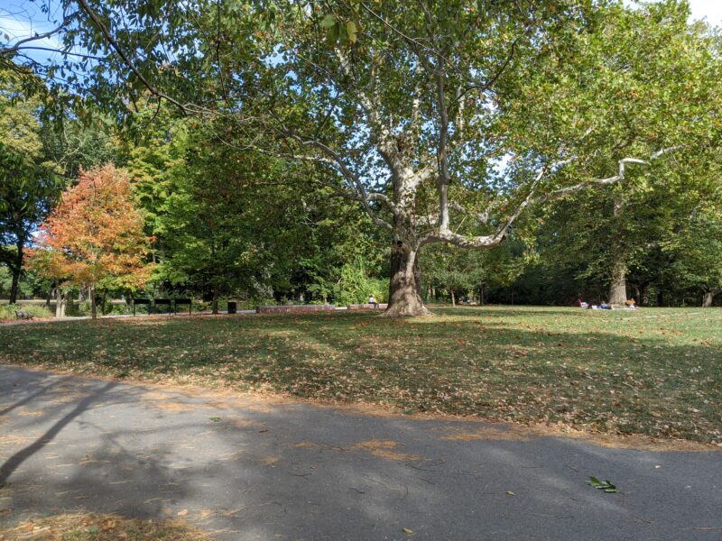
There’s a large park system in Boston called the The Emerald Necklace which stretches seven miles from the Boston Common all the way down to Franklin Park Zoo. Before this semester, I’d only been to the Public Garden and the Boston Common, which are two adjacent parks right in the middle of downtown Boston. I knew that this semester would be particularly tough though, and that I would struggle to get myself out of my room if I didn’t have a concrete plan to do so. With that in mind, I set a goal to explore the whole park system, preferably before the weather got too cold.
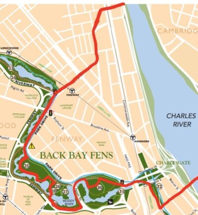
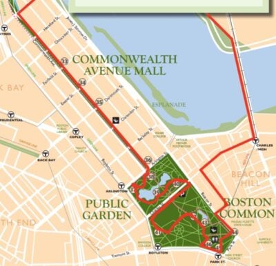
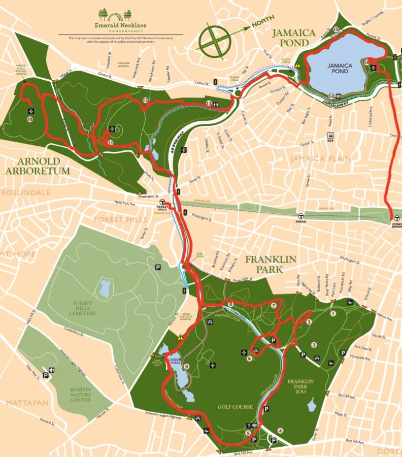
The Emerald Necklace Conservancy provides an intricately detailed map with a total of 46 points of interest01 these also have associated numbers, which are used throughout this post scattered across seven park areas. As someone with completionist tendencies, I decided that I would try and visit all of them across different weekends—and, since walking outdoors is a comparatively safe activity, I recruited a few friends for each trip. I also ended up getting a ton of photos, many of which I’ve included02 including photos of each of the 46 points of interest throughout this post.
Part 1: September 13th—Back Bay Fens, #25-32
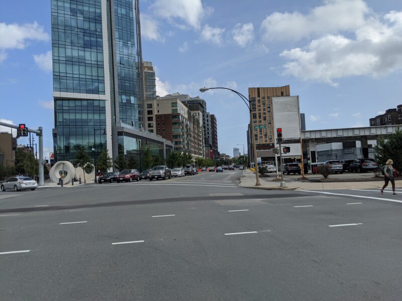
I started part one of the journey with the naïve assumption that I would be able to knock out this adventure in just three trips, the first of which would be the trek from Next House all the way out to the Boston Common. With such a plan in mind, I met Shuli outside Next early in the morning. We headed out towards the junction of Riverway and the Back Bay Fens, near the Fenway T03 T stands for MBTA, which is the Massachusetts Bay Transit Authority, which runs Boston's public transportation station.
This part of the journey took quite some time. It turns out that the Fenway T station is actually over a mile from Next, so it took us a good half-hour or so to even get to the park.
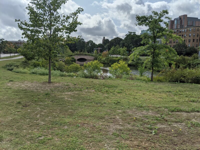
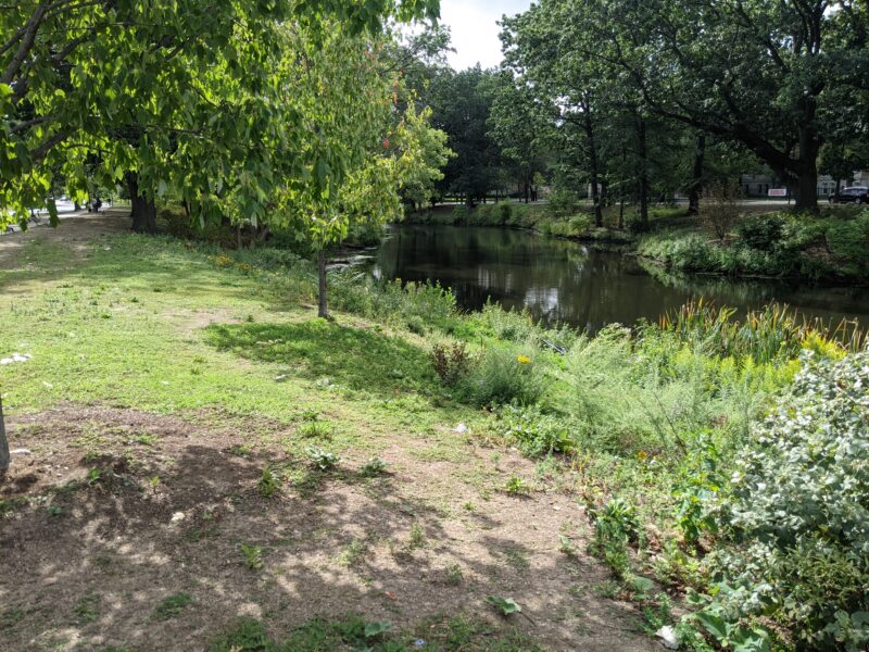
Eventually, we crossed the road at a somewhat confusing intersection and found ourselves in the Back Bay Fens, which run along the Muddy River.04 the Muddy River, in my opinion, is a creek at best, but to each their own We walked along the outside sidewalk, between the road and the river, and headed south towards our first point of interest.
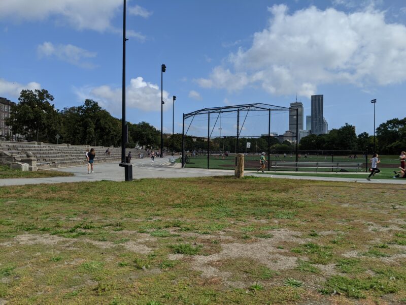
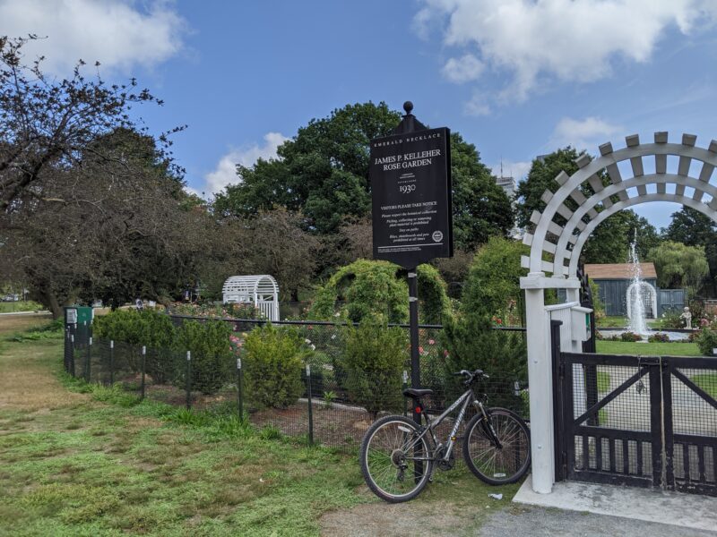
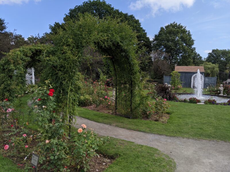
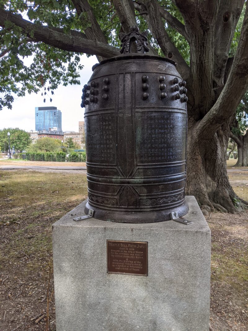
The first item the map had marked was the athletic facilities in the area, which we did not find particularly interesting. However, the second item was a rose garden! We spent a good amount of time inside the garden, wandering around, looking at the flowers, and occasionally laughing at some of the names.05 it turns out that rose variants are named in a manner similar to Kentucky Derby horse names, that is to say, completely randomly. There were also some war memorials in the area (although they were a little out of our way), as well as a Japanese temple bell “found on a scrap heap in Yokosuka…in 1945.”
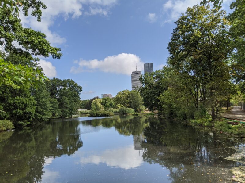
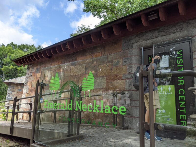
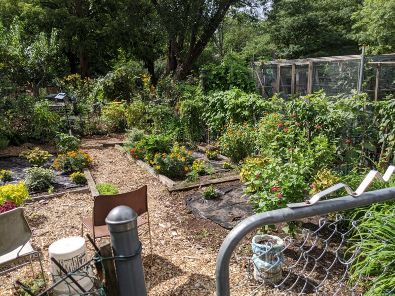
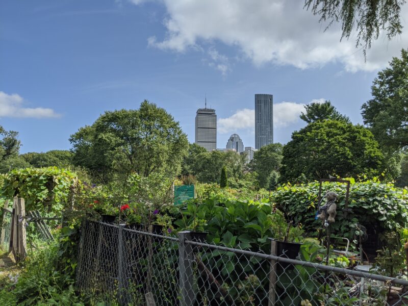
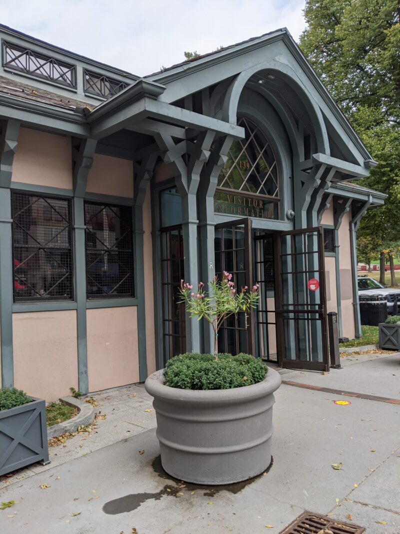
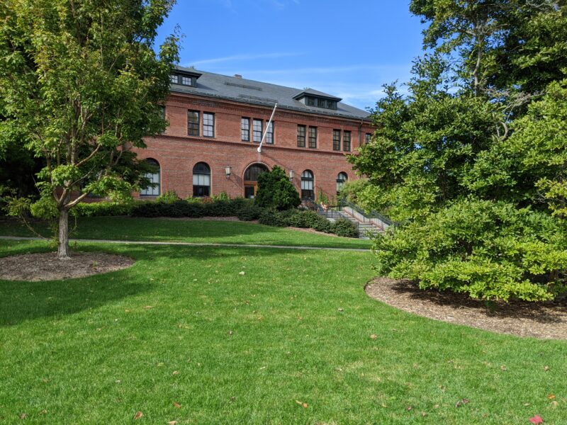
We crossed over to the other side of the Muddy to swing by the (closed) Emerald Necklace Visitor Center, where we found a very nice printed copy of the map with all the points of interest. The road then swung back up to the Fenway Victory Garden, where Shuli and I contemplated whether or not we could get a plot for the bloggers. Further along the path, we came to the end of the Back Bay Fens and the Muddy River.
On the other side of a gnarly intersection with the Massachusetts Turnpike,06 also known as I-90, which also runs through South Dakota! we found ourselves at the last item of the day, a Leif Eriksson statue. At this point, instead of continuing on to the Common, we headed back to MIT over the Harvard Bridge, ending our journey for that day.
September 27th: Commonwealth Avenue Mall, Public Garden, Boston Common, #33-46
I did the next leg of the journey with Selena L., a ’24 living in Cambridge (who is also Mel’s roommate!). Having done this journey many times, this trip was fairly straightforward; we met at the Harvard Bridge sometime in the morning, and headed across to the Commonwealth Avenue Mall.
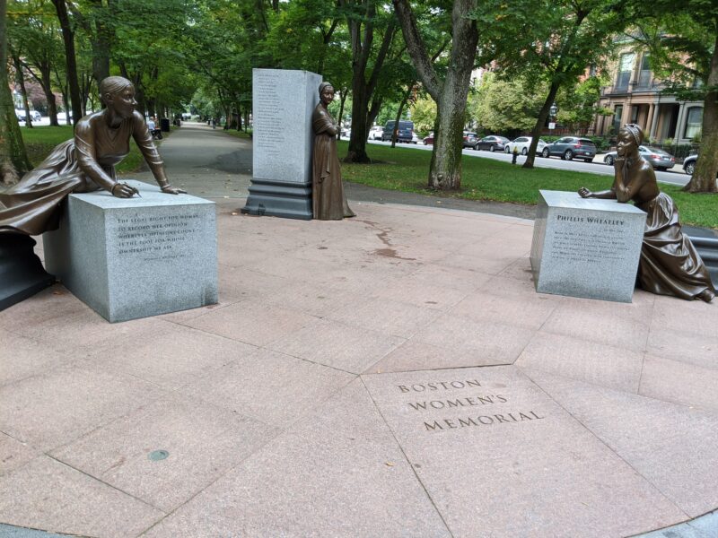
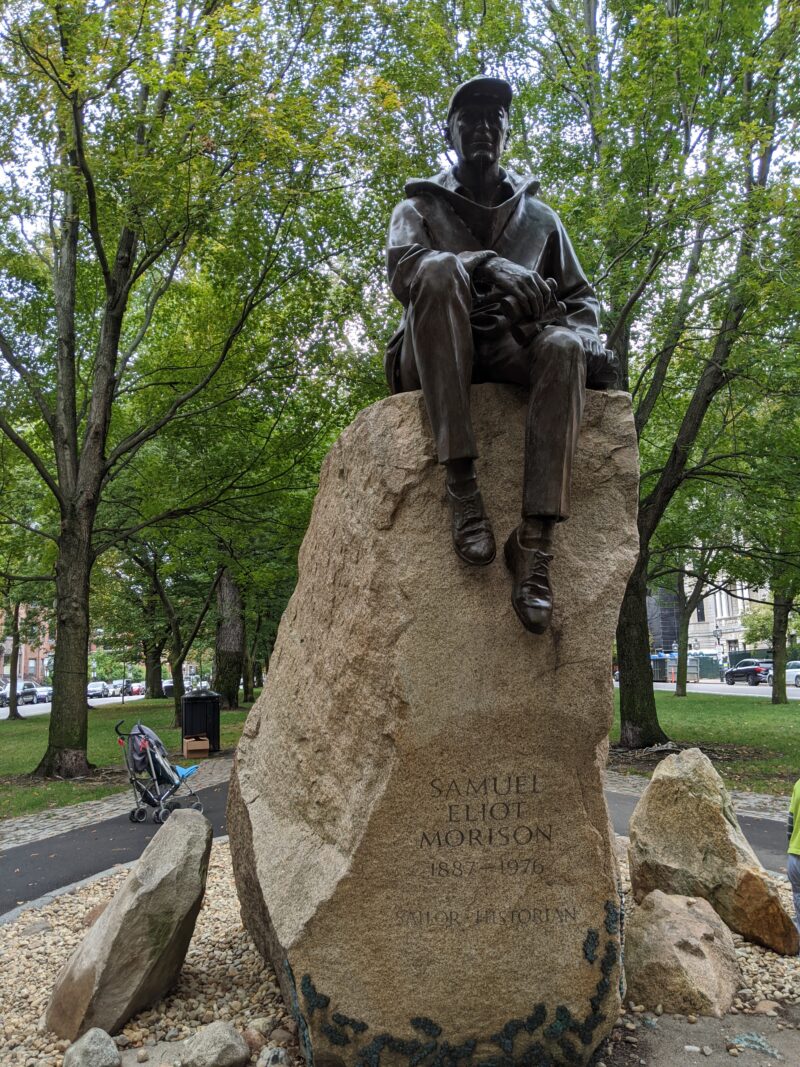
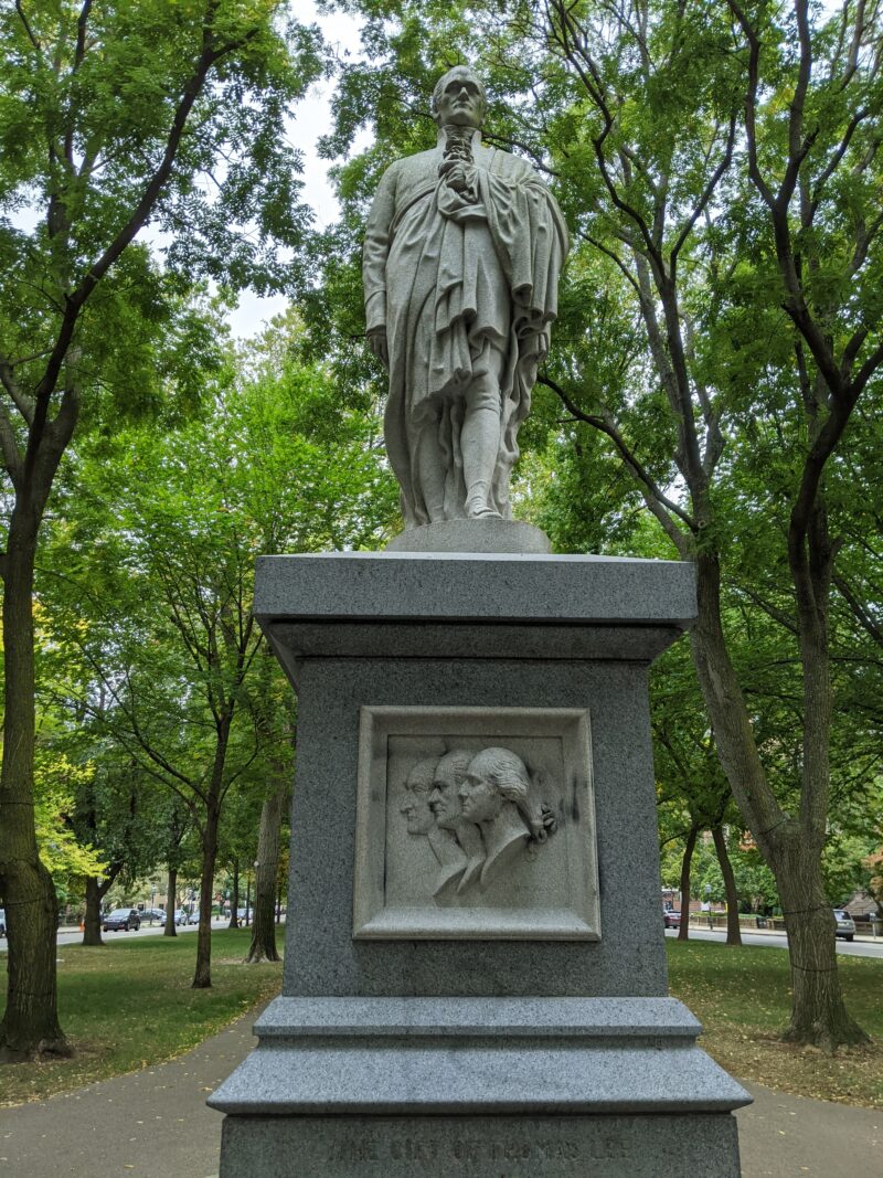
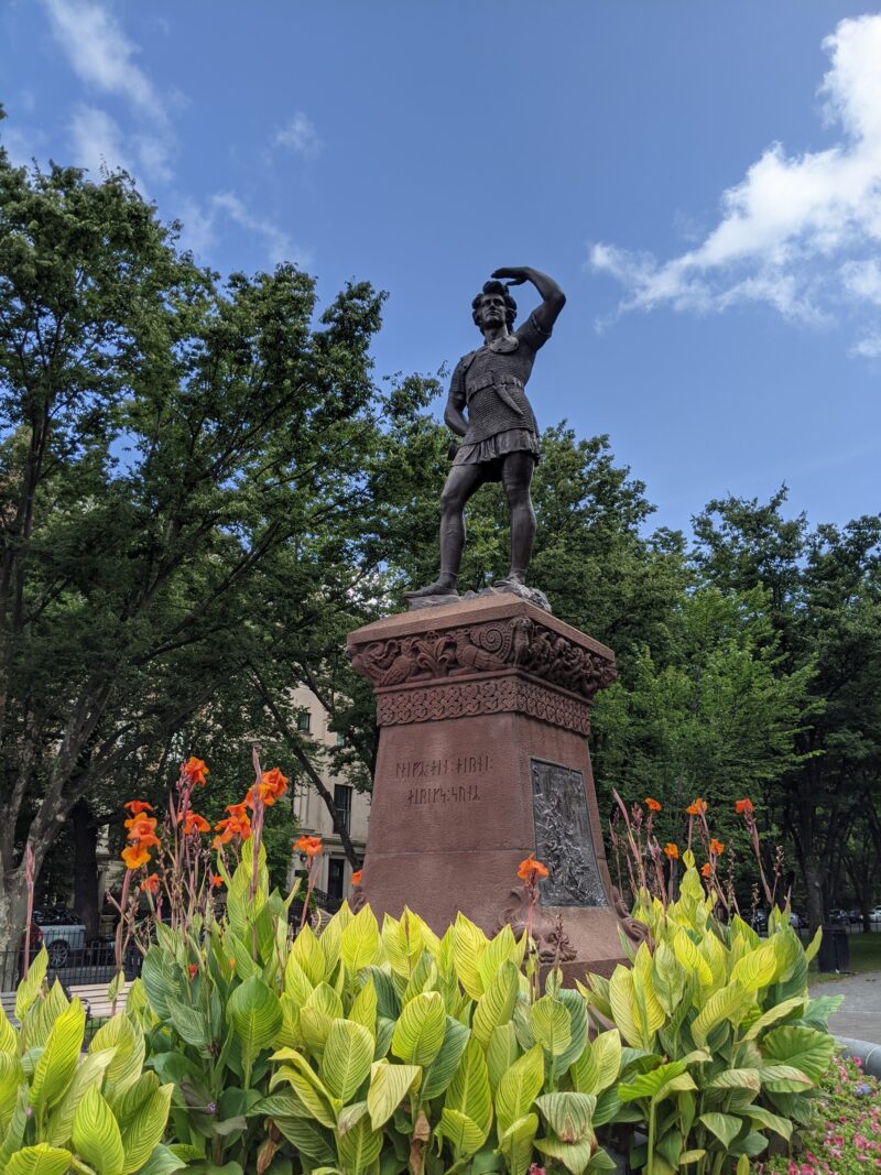
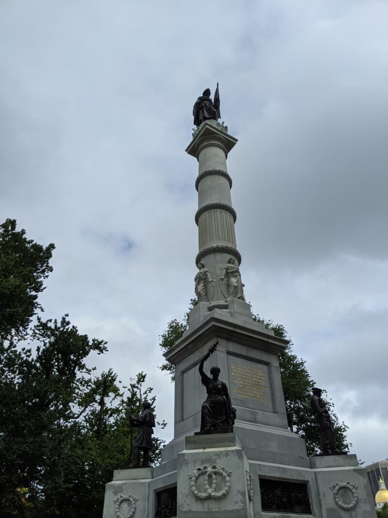
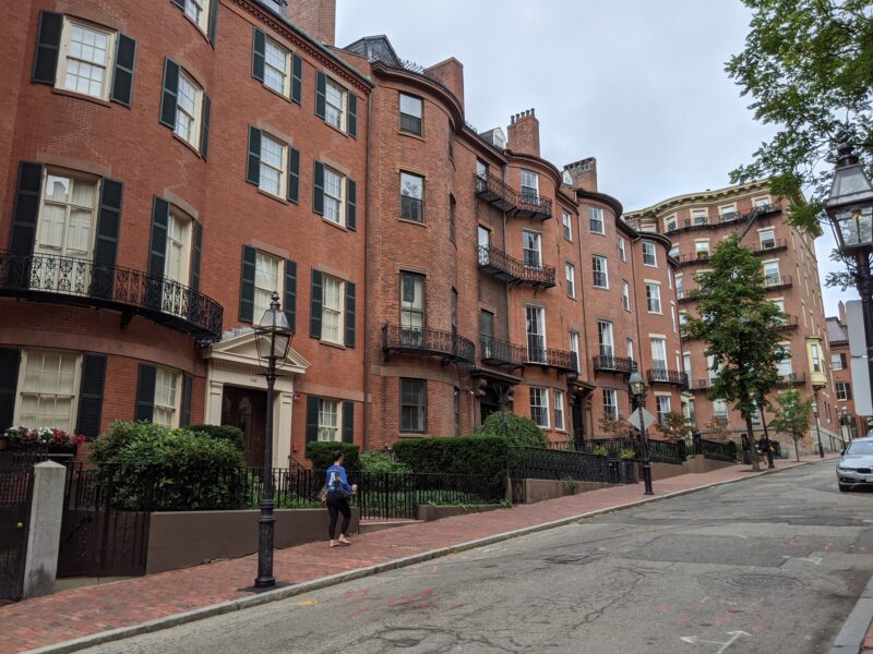
Commonwealth Avenue Mall was pretty unremarkable; it’s just a thin strip of greenspace they’ve parked between the two sides of Commonwealth Avenue. I didn’t know much about Lucy Stone07 who is in the Women's Memorial, along with Phyllis Wheatley and Abigail Adams and Samuel Eliot Morison, so I searched them up—the former was a prominent abolitionist and suffragist and the first Massachusetts woman to get a college degree and the latter was a prominent historian. 08 I would be remiss if I did not at least mention the musical <em>Hamilton</em> with the statue, so here's an annotation, I guess
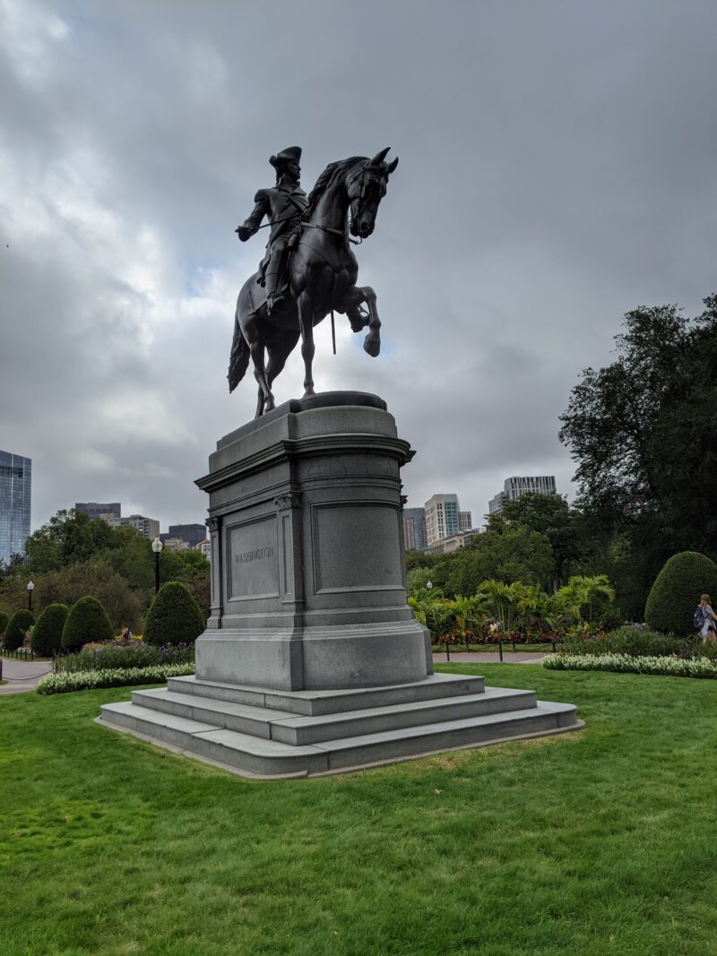
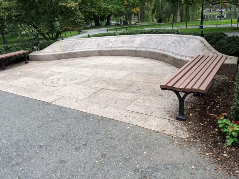
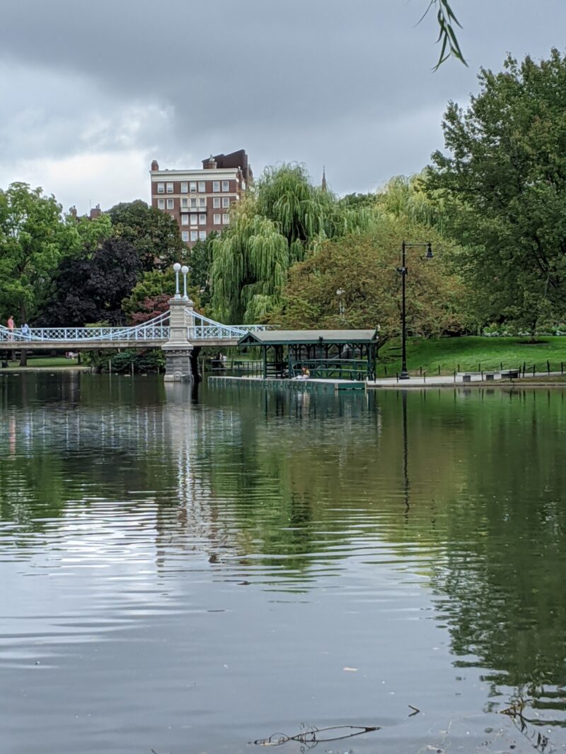
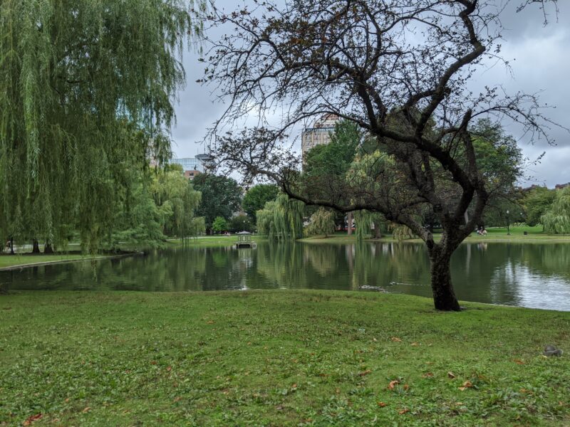
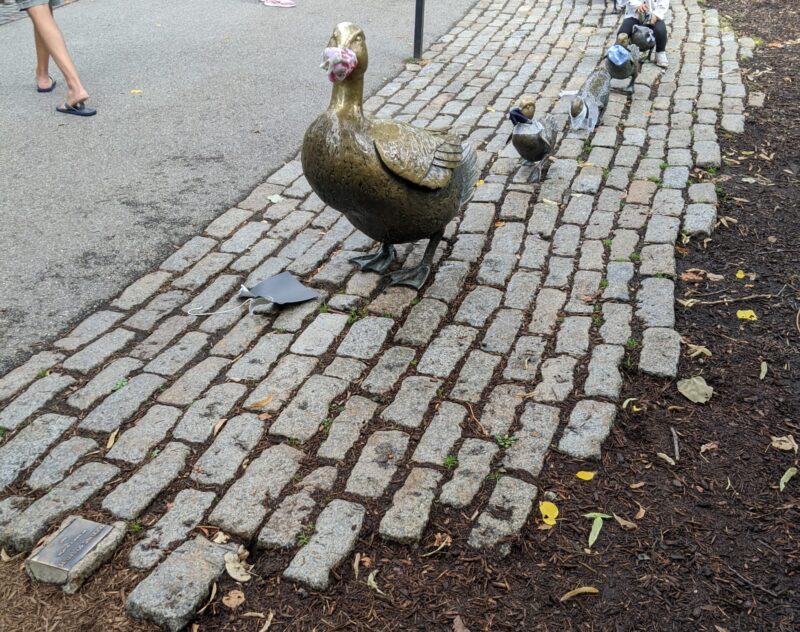
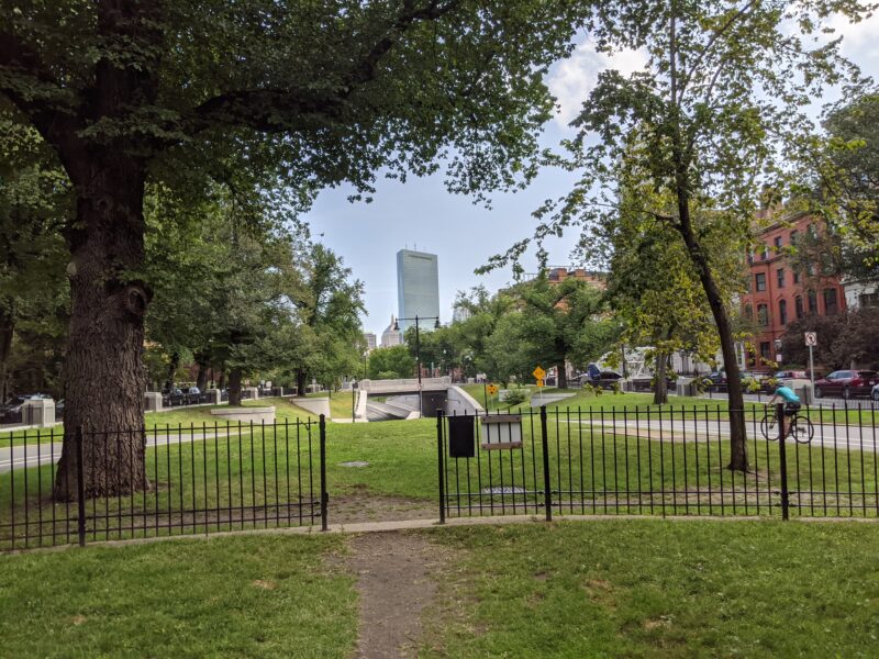
Commonwealth Avenue took us up to the Public Garden. It took us a little bit of effort to find the 9/11 Memorial; it’s tucked back behind some bushes on the side of the park, creating a sort of solemn, distanced effect. The famous swan boats were not there, unfortunately, but our last stop, Make Way for Ducklings, was quite popular with children,09 including me, a child at heart meaning it took a while for me to get a good photo that did not have a kid’s face in it.
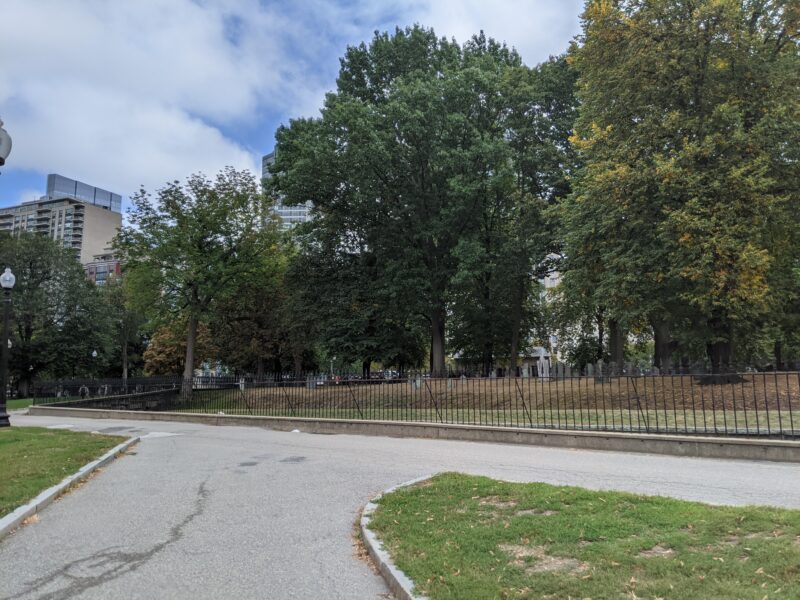
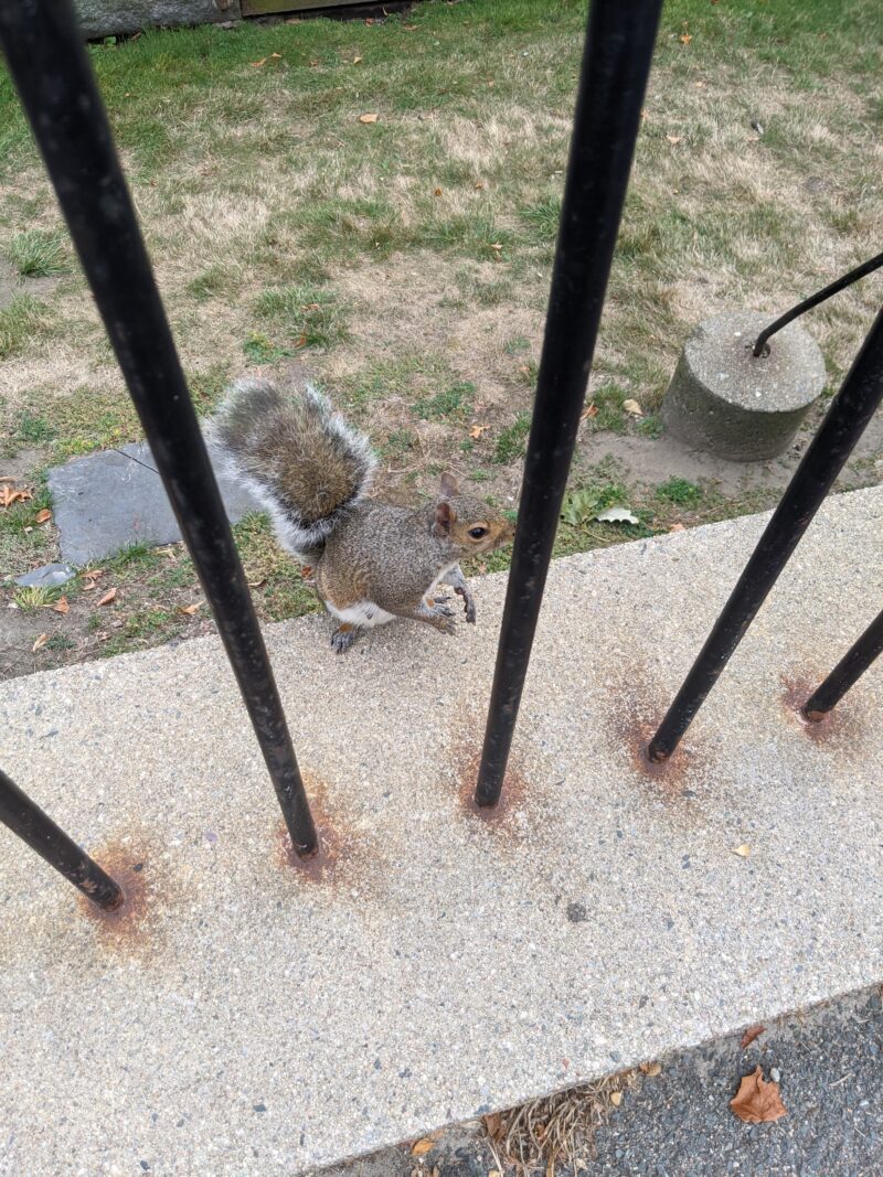
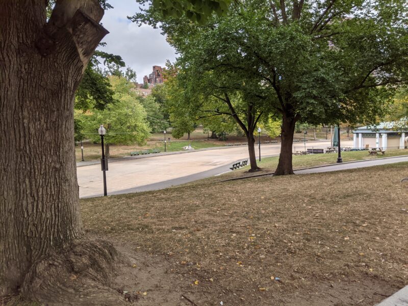
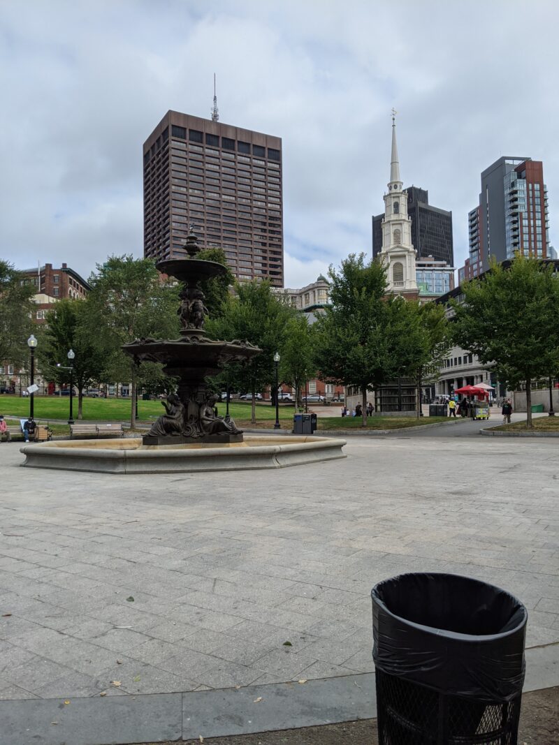
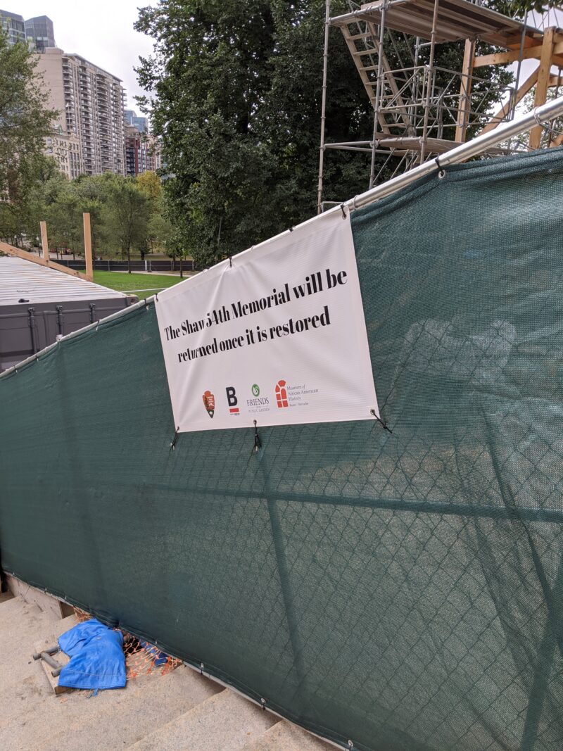
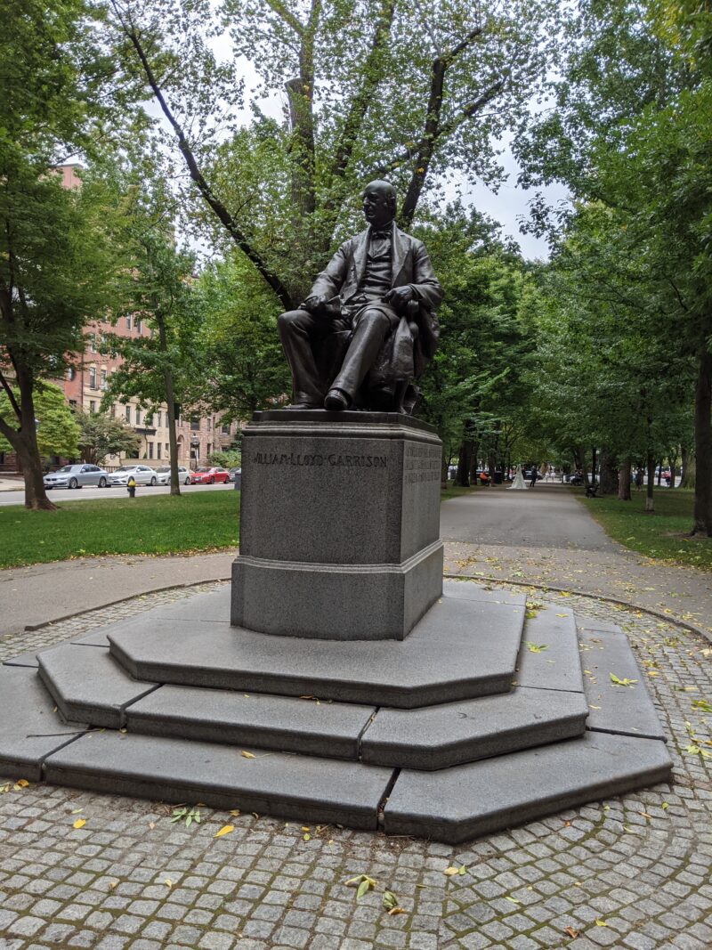
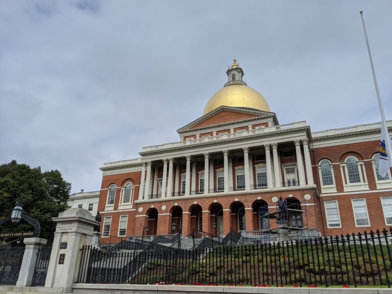
Having hit all the points in the Public Garden, we crossed over to the Boston Common, the terminus of the Emerald Necklace and our last park for the day. Of note was a brave squirrel, which scurried up the fence of the Central Burying Grounds towards Selena, and the numerous items on the list that were abnormal: the drained Frog Pond and Brewer Fountain, the absent Shaw 54th Memorial.
Having finished all the items at this end of the map, we headed back up to Cambridge via some side streets and eventually the Longfellow Bridge.
October 4th: Riverway, #17-24
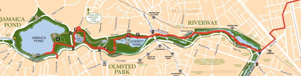 I did this leg of the journey with two of my podmates, Oris S. ’23 and Kylee C. ’23. Since I was feeling kind of hosed, my initial plan was to cut our journey off at Leverett Pond. We took the same path down to Fenway T station as Shuli and I had taken the first time, but instead of heading into the Fens, we headed the opposite direction, into Riverway.
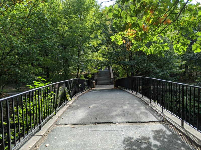
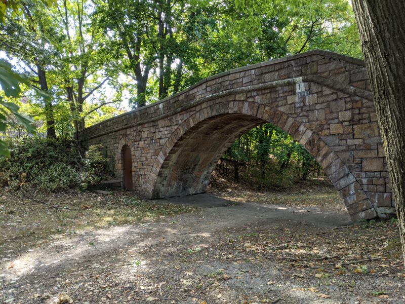
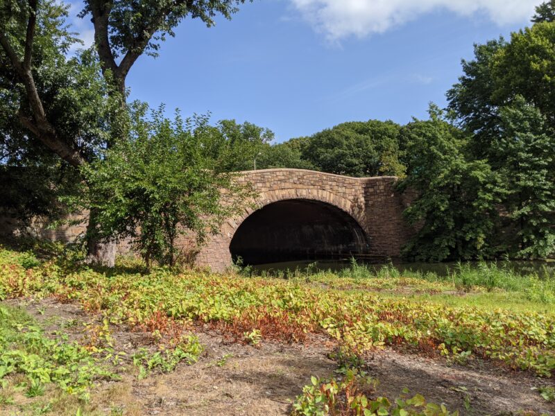
Riverway was quite pretty, a strip of park next to a river sandwiched between a road on the left and the Green Line on the right. Occasionally, a Green Line train would pass by and we would watch it go past. The map also included some interesting tidbits about the Chapel Street Bridge, which “separated walkers above from the bridle path below.”
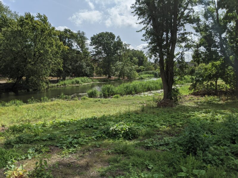
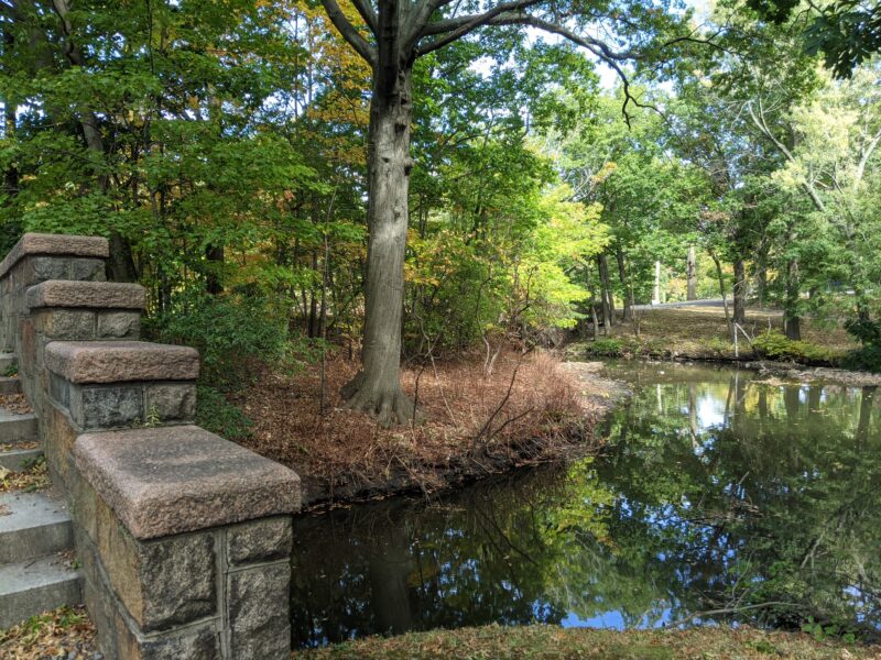
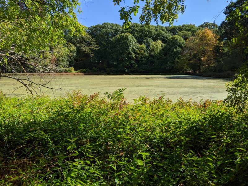
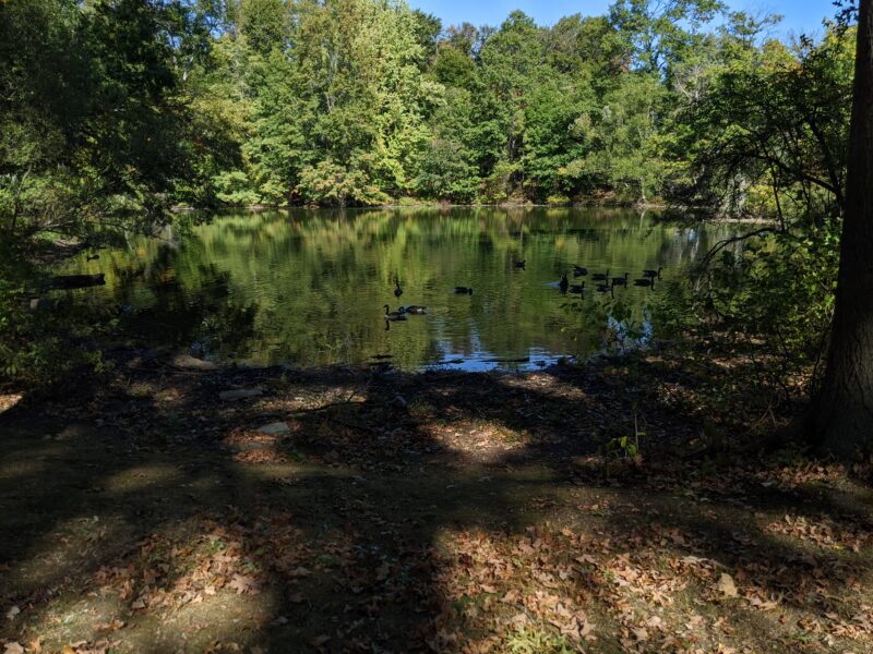
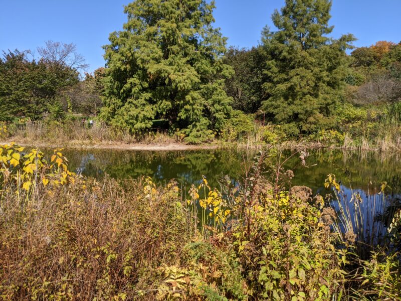
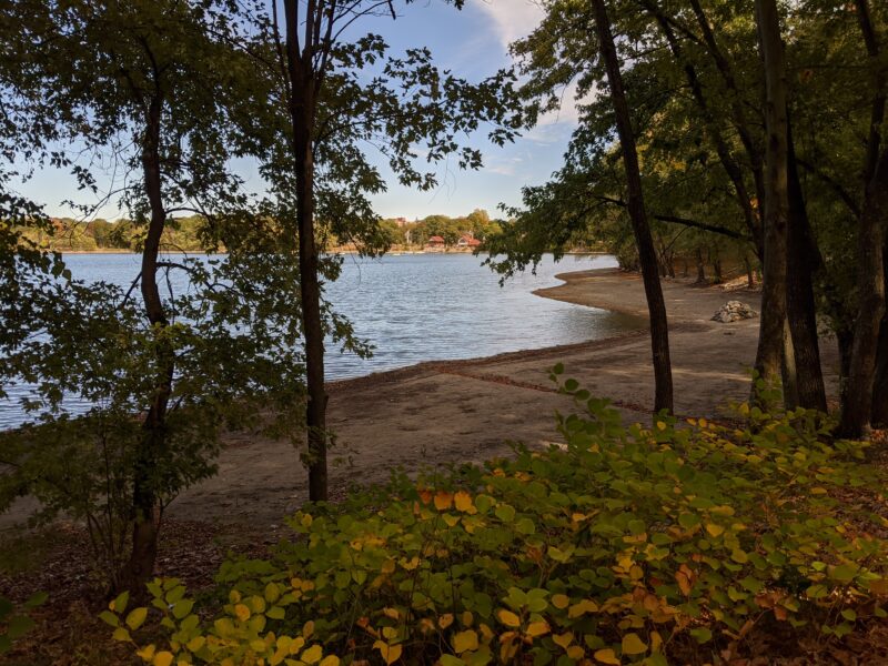
We marched on to our intended destination of Leverett Pond, which is in Olmsted Park. When we arrived, however, we found that a good portion of the pond was fenced off, which was kind of disappointing. Since Kylee and Oris were still up for more walking, we headed over to the next few points of interest, with Ward’s Pond as our tentative destination.
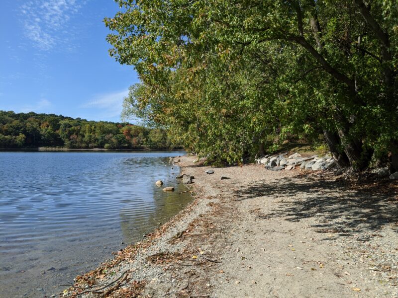
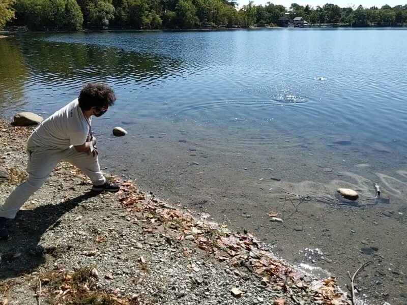
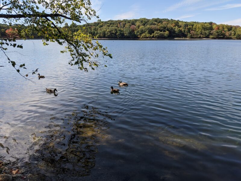
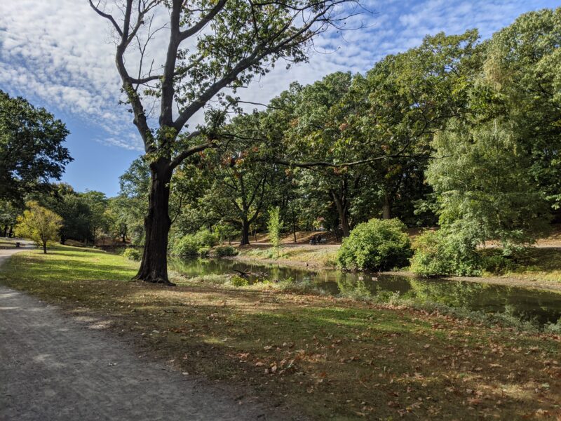
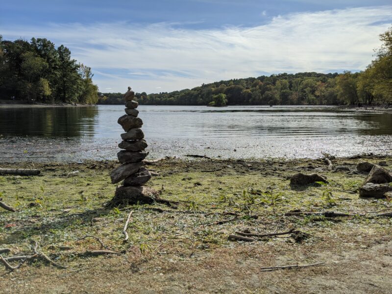
We were briefly sidetracked by the Paul Pender Rotary,10 apparently <a href="https://patch.com/massachusetts/brookline/rotary-named-in-honor-of-paul-pender-a-brookline-champion">named after World Middleweight Boxing Champion and Brookline firefighter, Paul Pender</a> before arriving at Ward’s Pond. Unfortunately for us, there were also no good places to work at Ward’s Pond, which meant that we had to soldier on to Jamaica Pond, where we spent an hour and a half doing work on the shore,11 nothing like reading Herodotus in the sun basking in the sun and the fall colors. We took an Uber back to Next House after our worksession.
October 11th: Franklin Park, Arnold Arboretum, Jamaica Pond, #1-16
 I ended up leaving the first sixteen items (including, notably, some of the items at Jamaica Pond) for my last trip. This, in retrospect, was not the best decision, because it left over ten miles of park left for the last leg of the journey. Fortunately, however, the weekend of the 11th was a long weekend, meaning I could afford to sacrifice a day to the cause. Even better, I was able to convince Shuli to go on this journey with me.
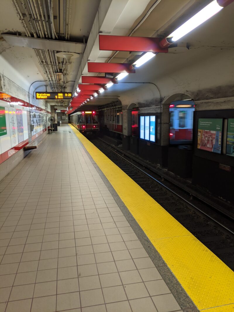
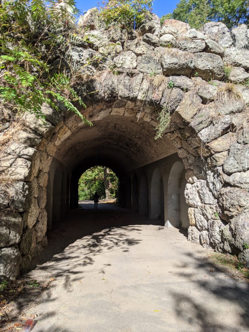
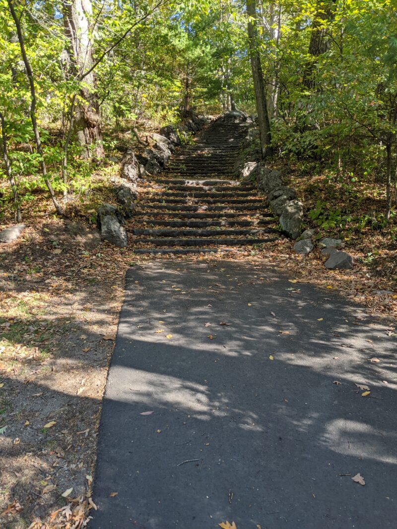
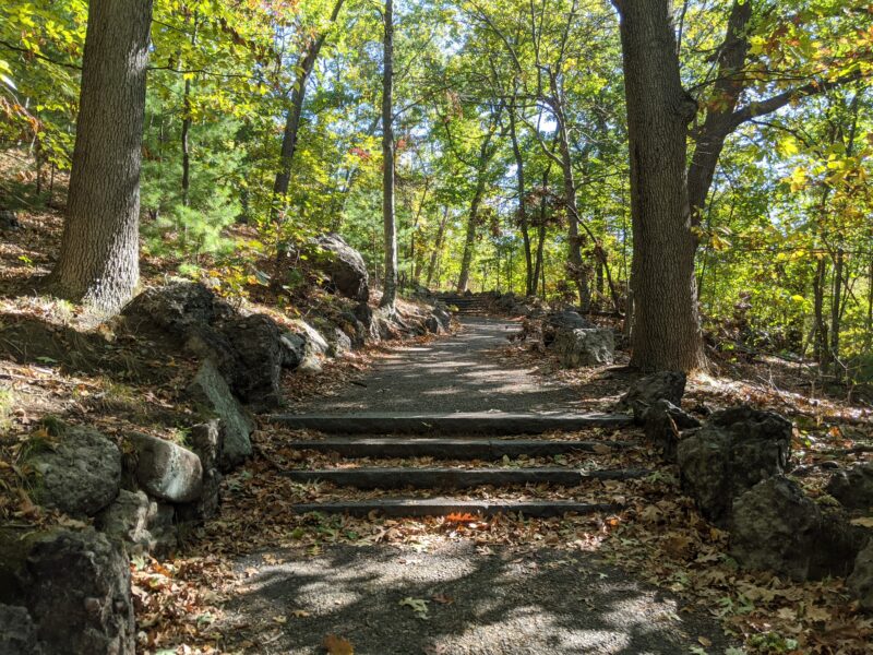
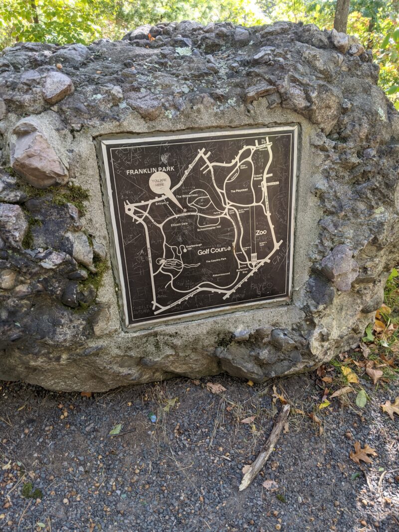
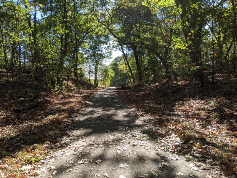
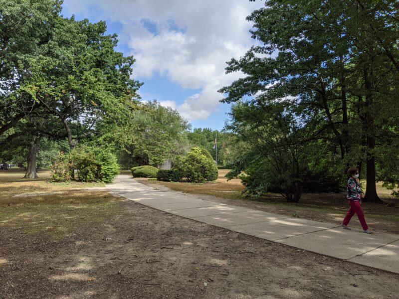
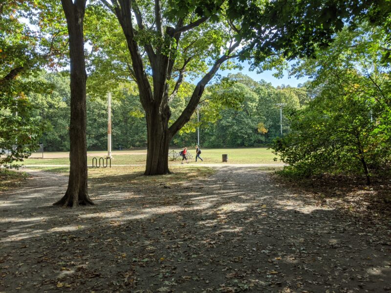
We met early Sunday morning on the T12 note: safety during a pandemic is relative. because we did this at off-peak hours and <a href="https://medical.mit.edu/covid-19-updates/2020/09/how-safe-public-transportation">MIT Medical guidance suggests travel is comparatively safe to other activities</a> as long as you follow all relevant guidelines, we decided this was okay. at Kendall/MIT and headed down to Forest Hills, all the way at the very end of the Orange Line. Upon arriving at Forest Hills, we headed down towards Franklin Park, where we entered The Wilderness,13 not the Civil War battle a small area with many meandering trails.
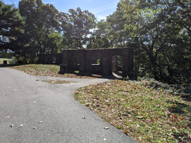
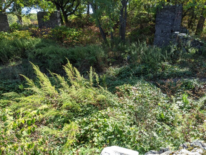
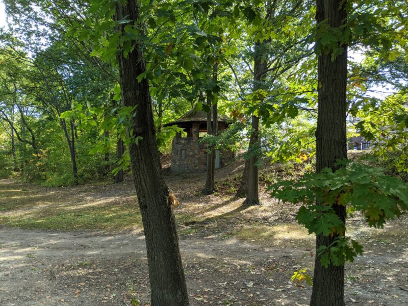
Not wanting to delay for too long in the Wilderness, we headed to Schoolmaster Hill, a picnic area which was our first stopping point. I brought out my snacks14 a bag of mini m&m's, a carton of grapes, and four clementines and we took a brief break, before heading back onto the trail. It took us a little bit of effort to find the Overlook Shelter Ruins (because they really are ruins), but we eventually succeeded.
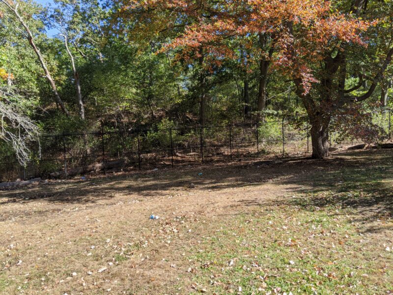
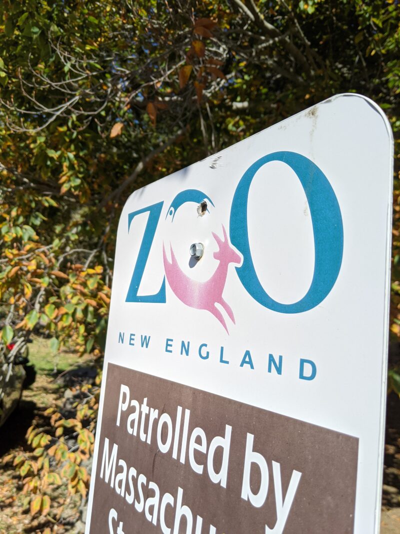
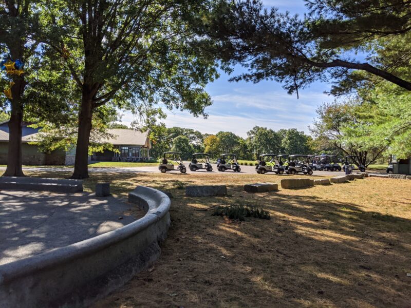
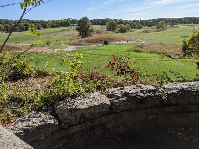
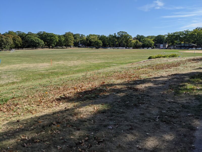
The next leg of the trip had much more distributed points of interest, including the Franklin Park Zoo, which we decided not to actually visit, the golf course, which we mostly walked through, and the Scarboro Pond, which we agreed was a good pond. This was the last point of interest in the first area of the trip—although at this point we were already two hours into our journey.
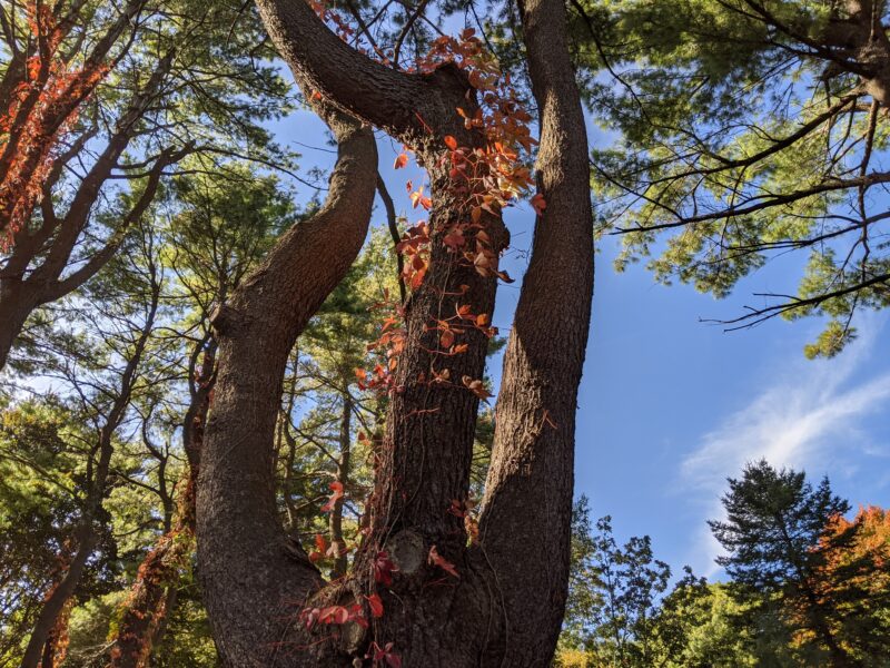
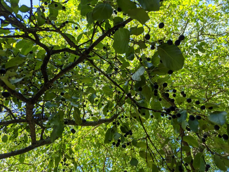
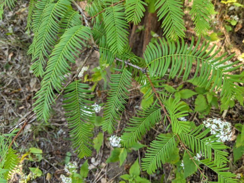
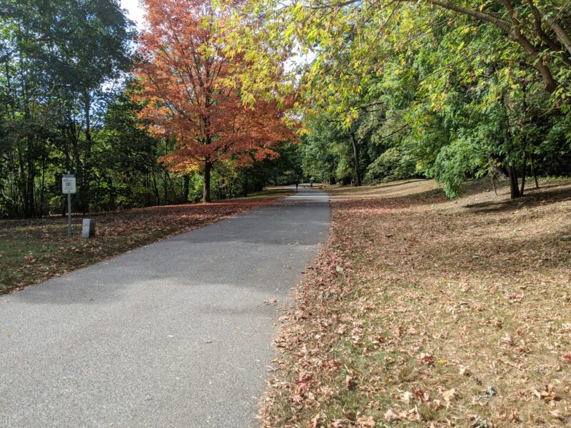
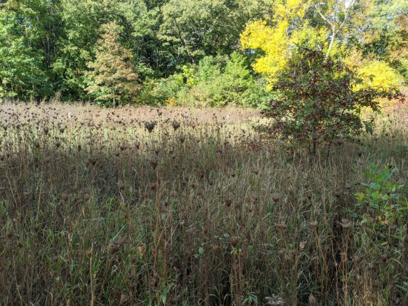
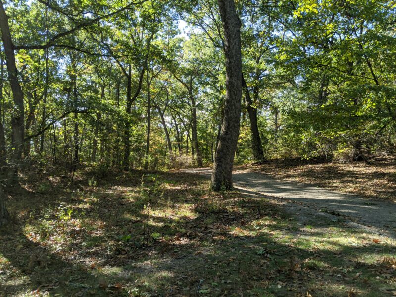
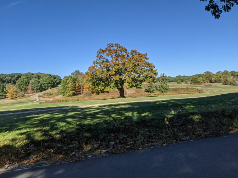
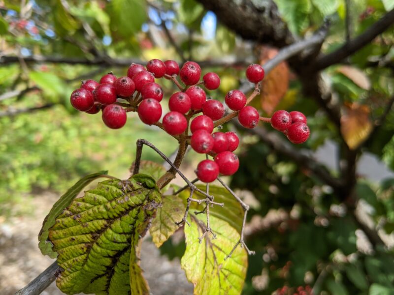
We took a brief water break halfway between Franklin Park and the Arboretum. Our progress in the Arboretum was much slower than our progress through Franklin Park, because a) we were more tired; b) the area is more hilly; and, c) we spent a lot of time looking at trees. The Explorers Garden, in particular, was quite cool, because it had a lot of plants from Asia, as well as a species of tree that is extinct in the wild.
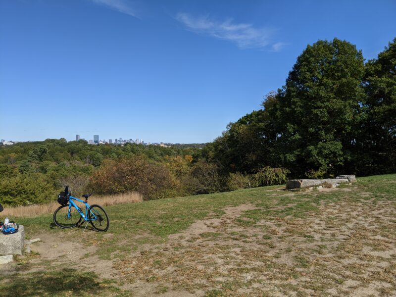
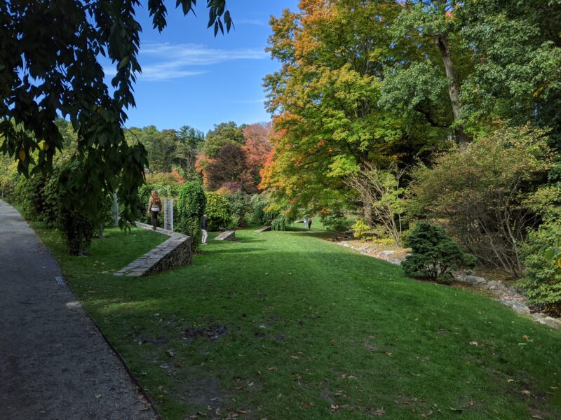
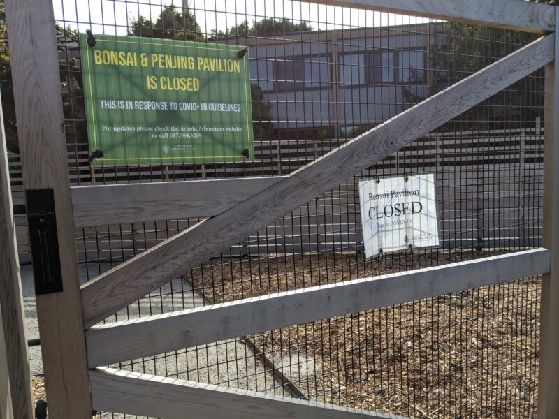
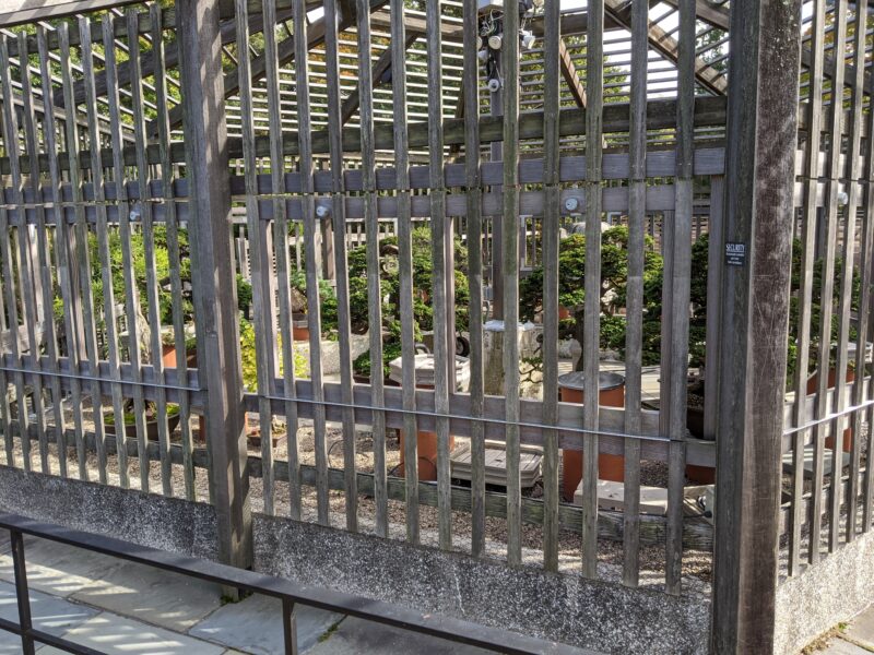
We headed up Peters Hill in the Arboretum, the highest point in the Emerald Necklace. Right before we reached the peak, however, we found a very good bench, which we used to eat lunch.15 more accurately, shuli ate a packed lunch and I ate snacks We then reached the summit, gazed out for a little bit, and then headed back towards the exit to the Arboretum, through an accidentally roundabout path. In particular, we were looking for a bonsai garden, which we eventually found out was closed.16 :( A little disappointed, we headed out of the Arboretum and up towards our final park.
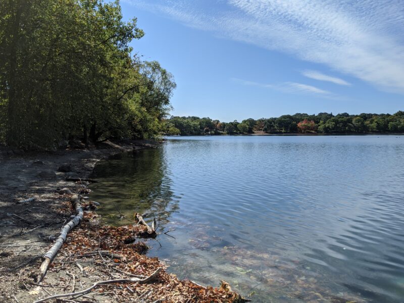
The last park of the day was Jamaica Pond.17 pt. 2: electric boogaloo Two of the three points of interest were a little out of the way, and at this point we were doing our best to minimize additional walking, so I got pictures from afar. The very last item on the list was Pinebank Promontory, which apparently used to be the location of a mansion that was owned by the city and demolished in 2007. We sat on the bench there for a while—although we were done with the Emerald Necklace itself, we were still about a mile away from the T station.
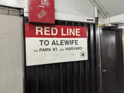
We walked down to Stony Brook T station on the Orange Line, and changed back onto the Red Line at Downtown Crossing. I got off the train at Kendall/MIT, waved goodbye to Shuli, and then walked back to Next House. The trip had taken eight hours and around 32,000 steps, but I had finished the last leg of the Emerald Necklace.
- these also have associated numbers, which are used throughout this post back to text ↑
- including photos of each of the 46 points of interest back to text ↑
- T stands for MBTA, which is the Massachusetts Bay Transit Authority, which runs Boston's public transportation back to text ↑
- the Muddy River, in my opinion, is a creek at best, but to each their own back to text ↑
- it turns out that rose variants are named in a manner similar to Kentucky Derby horse names, that is to say, completely randomly. back to text ↑
- also known as I-90, which also runs through South Dakota! back to text ↑
- who is in the Women's Memorial, along with Phyllis Wheatley and Abigail Adams back to text ↑
- I would be remiss if I did not at least mention the musical Hamilton with the statue, so here's an annotation, I guess back to text ↑
- including me, a child at heart back to text ↑
- apparently named after World Middleweight Boxing Champion and Brookline firefighter, Paul Pender back to text ↑
- nothing like reading Herodotus in the sun back to text ↑
- note: safety during a pandemic is relative. because we did this at off-peak hours and MIT Medical guidance suggests travel is comparatively safe to other activities as long as you follow all relevant guidelines, we decided this was okay. back to text ↑
- not the Civil War battle back to text ↑
- a bag of mini m&m's, a carton of grapes, and four clementines back to text ↑
- more accurately, shuli ate a packed lunch and I ate snacks back to text ↑
- :( back to text ↑
- pt. 2: electric boogaloo back to text ↑